File:Israel and arab states map.png
No higher resolution available.
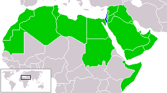
Israel_and_arab_states_map.png (336 × 188 pixels, file size: 11 KB, MIME type: image/png)
zfdsde
| This work has been released into the public domain by its author, Humus sapiens. This applies worldwide. In some countries this may not be legally possible; if so: |
File history
Click on a date/time to view the file as it appeared at that time.
| Date/Time | Thumbnail | Dimensions | User | Comment | |
|---|---|---|---|---|---|
| current | 21:51, 18 March 2018 | | 336 × 188 (11 KB) | Maphobbyist | Reverted to version as of 14:02, 9 July 2011 (UTC) |
| 12:15, 21 January 2017 |  | 336 × 188 (23 KB) | عادل | correction of Egypt borders | |
| 14:02, 9 July 2011 |  | 336 × 188 (11 KB) | Maphobbyist | South Sudan has become independent on July 9, 2011. Sudan and South Sudan are shown with the new international border between them. | |
| 23:23, 20 April 2005 |  | 336 × 188 (9 KB) | Ondrejk | {{GFDL}} Based on Image:BlankMap-World.png copied from EN Wiki |
File usage
The following 2 pages use this file:
Global file usage
The following other wikis use this file:
- Usage on eo.wikipedia.org
- Usage on hu.wikipedia.org
- Usage on id.wikipedia.org
- Usage on ko.wikipedia.org
- Usage on min.wikipedia.org
- Usage on no.wikipedia.org
- Usage on pl.wikipedia.org
- Usage on sk.wikipedia.org
- Usage on zh-yue.wikipedia.org