File:Canada Finland Locator.png
Size of this preview: 800 × 455 pixels. Other resolutions: 320 × 182 pixels | 640 × 364 pixels | 1,260 × 716 pixels.
Original file (1,260 × 716 pixels, file size: 66 KB, MIME type: image/png)
Summary
| Description |
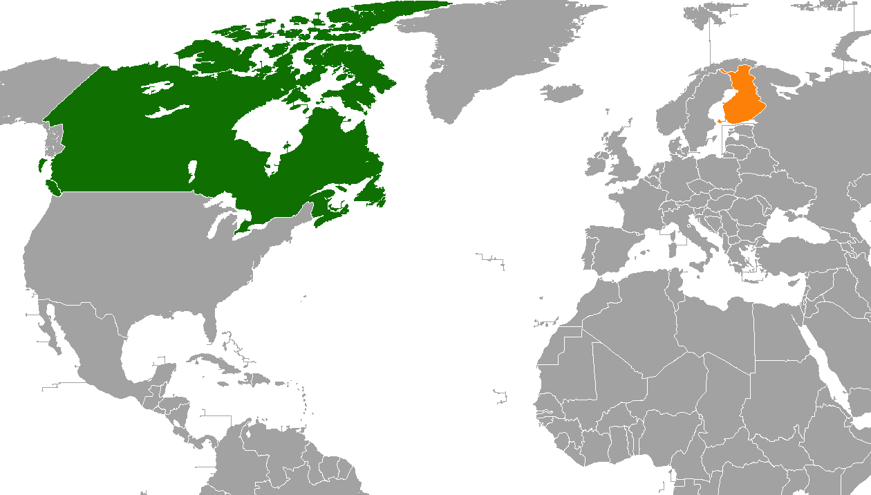
English: Bilateral locator map of Canada and Finland. |
| Date | 8 November 2008 (original upload date) |
| Source | Own work |
| Author | Päivätön päivä |
Licensing
| |
This work has been released into the public domain by its author, Päivätön päivä, at the English Wikipedia project. This applies worldwide. In case this is not legally possible: |
Original upload log
The original description page was here. All following user names refer to en.wikipedia.
- 2008-11-08 22:59 Päivätön päivä 1425×625× (48865 bytes) {{PD-self}}
File history
Click on a date/time to view the file as it appeared at that time.
| Date/Time | Thumbnail | Dimensions | User | Comment | |
|---|---|---|---|---|---|
| current | 01:20, 14 April 2019 | | 1,260 × 716 (66 KB) | Aquintero82 | Updated map |
| 00:37, 30 December 2011 |  | 1,425 × 625 (48 KB) | File Upload Bot (Magnus Manske) | {{BotMoveToCommons|en.wikipedia|year={{subst:CURRENTYEAR}}|month={{subst:CURRENTMONTHNAME}}|day={{subst:CURRENTDAY}}}} {{Information |Description={{en|''no original description''}} |Source=Transferred from [http://en.wikipedia.org en.wikipedia]; transfer |
File usage
The following 3 pages use this file:
Global file usage
The following other wikis use this file:
- Usage on fa.wikipedia.org
- Usage on he.wikipedia.org
- Usage on uz.wikipedia.org
- Usage on www.wikidata.org