File:Bath rec.jpg
No higher resolution available.
Bath_rec.jpg (640 × 480 pixels, file size: 87 KB, MIME type: image/jpeg)
Summary
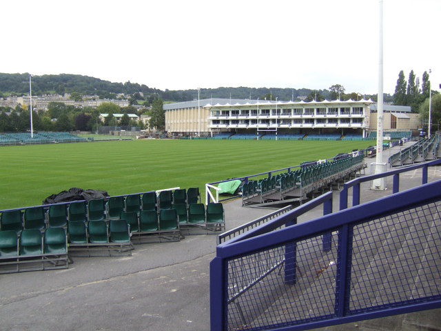
| Description | Bath Rugby ground, part of The Recreation Ground, Bath, England |
| Date | |
| Source | From geograph.org.uk |
| Author | Jonathan Billinger |
| Permission (Reusing this file) |
Creative Commons Attribution Share-alike license 2.0 |
| Attribution (required by the license) | Jonathan Billinger / Bath Rugby ground / |
| Camera location | | View this and other nearby images on: OpenStreetMap |
|---|
Licensing

|
This image was taken from the Geograph project collection. See this photograph's page on the Geograph website for the photographer's contact details. The copyright on this image is owned by Jonathan Billinger and is licensed for reuse under the Creative Commons Attribution-ShareAlike 2.0 license.
|
This file is licensed under the Creative Commons Attribution-Share Alike 2.0 Generic license.
Attribution: Jonathan Billinger
- You are free:
- to share – to copy, distribute and transmit the work
- to remix – to adapt the work
- Under the following conditions:
- attribution – You must give appropriate credit, provide a link to the license, and indicate if changes were made. You may do so in any reasonable manner, but not in any way that suggests the licensor endorses you or your use.
- share alike – If you remix, transform, or build upon the material, you must distribute your contributions under the same or compatible license as the original.
File history
Click on a date/time to view the file as it appeared at that time.
| Date/Time | Thumbnail | Dimensions | User | Comment | |
|---|---|---|---|---|---|
| current | 11:38, 12 December 2009 | | 640 × 480 (87 KB) | Rodw | {{Information |Description=Bath Rugby ground |Source=From [http://www.geograph.org.uk/photo/538641 geograph.org.uk] |Date=2007-08-26 |Author=[http://www.geograph.org.uk/profile/8569 Jonathan Billinger] |Permission=Creative Commons Attribution Share-alike |
File usage
The following page uses this file:
Global file usage
The following other wikis use this file:
- Usage on azb.wikipedia.org
- Usage on ca.wikipedia.org
- Usage on de.wikipedia.org
- Usage on fr.wikipedia.org
- Usage on gl.wikipedia.org
- Usage on it.wikipedia.org
- Usage on ja.wikipedia.org
- Usage on ko.wikipedia.org
- Usage on sr.wikipedia.org
- Usage on www.wikidata.org
- Usage on zh.wikipedia.org