File:Hallaton Castle earthworks.jpg
No higher resolution available.
Hallaton_Castle_earthworks.jpg (640 × 480 pixels, file size: 49 KB, MIME type: image/jpeg)
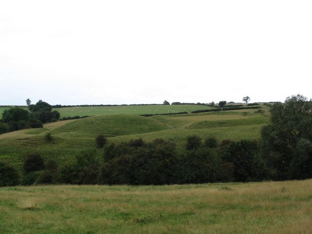
| Description | Earthworks of Hallaton Castle, which was situated to the west of the village of Hallaton, which lies some 20 km to the south-east of the city of Leicester. |
| Date | 2006-08-20T22:13:39+00:00 |
| Source | From geograph.co.uk |
| Author | Tim Heaton |
| Permission (Reusing this file) |
Creative Commons Attribution Share-alike license 2.0 |
| Camera location | | View this and other nearby images on: OpenStreetMap |
|---|

|
This image was taken from the Geograph project collection. See this photograph's page on the Geograph website for the photographer's contact details. The copyright on this image is owned by Tim Heaton and is licensed for reuse under the Creative Commons Attribution-ShareAlike 2.0 license.
|
This file is licensed under the Creative Commons Attribution-Share Alike 2.0 Generic license.
Attribution: Tim Heaton
- You are free:
- to share – to copy, distribute and transmit the work
- to remix – to adapt the work
- Under the following conditions:
- attribution – You must give appropriate credit, provide a link to the license, and indicate if changes were made. You may do so in any reasonable manner, but not in any way that suggests the licensor endorses you or your use.
- share alike – If you remix, transform, or build upon the material, you must distribute your contributions under the same or compatible license as the original.
File history
Click on a date/time to view the file as it appeared at that time.
| Date/Time | Thumbnail | Dimensions | User | Comment | |
|---|---|---|---|---|---|
| current | 17:16, 3 June 2008 | | 640 × 480 (49 KB) | Arthena | {{Information |Description=Earthworks of Hallaton Castle, which was situated to the west of the village of Hallaton, which lies some 20 km to the south-east of the city of Leicester. |Source=From [http://www.geograph.org.uk/photo/222714 geograph.co.uk] |D |
File usage
The following 4 pages use this file:
Global file usage
The following other wikis use this file:
- Usage on ar.wikipedia.org
- Usage on ca.wikipedia.org
- Usage on ceb.wikipedia.org
- Usage on de.wikipedia.org
- Usage on es.wikipedia.org
- Usage on www.wikidata.org